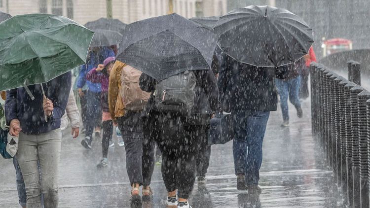
Thunderstorms and lightning bring risk of flooding to parts of England and Wales

A notice has been released for heavy rainstorms and thunderstorms on Wednesday and Thursday, warning of potential flooding and electricity outages.

The Met Office is forecasting that certain regions may experience the equivalent of one month's worth of rainfall within just a few hours.
Heavy rain is expected tonight in the southern part of England, spanning from Hampshire to Kent, and including London and Essex as well.
These areas could see as much as 3cm (1in) of rain in just one hour.
Starting from the early hours of Thursday, the alert zone now includes a vast portion of England and Wales, reaching as far up as Northumberland. There is a possibility of up to 4cm (1.5 inches) of rainfall within a single hour.

Tomorrow, there is a slight chance of receiving over 6cm (2in) of rain within a span of two to three hours. Additionally, there may be frequent occurrences of lightning, especially in southeast England and East Anglia.
There will be isolated intense rain and thunderstorms popping up on Thursday afternoon and evening in some areas of central, southern, and eastern England, as well as possibly South Wales.
Weather experts are warning that strong winds, hail, and heavy rainfall could cause dangerous driving conditions, road closures, and interruptions to public transportation.

They are advising homeowners and businesses that there may be power outages.
Make sure to see the current weather conditions in your location.
This week, the UK Health Security Agency (UKHSA) has announced yellow heat health alerts for all of England, except for the northeast and northwest regions. These alerts will be in place until Friday.
On Tuesday, it is predicted to be officially declared as the hottest day of the year, surpassing the previous high temperature of 31.9C reached earlier in the year.

Kew Gardens and Heathrow, located in the western part of London, recorded temperatures of 32 degrees Celsius (89 degrees Fahrenheit).
The weather may feel hot and humid on Wednesday and Thursday, with temperatures reaching 30C (86F) or higher. However, the heat is expected to decrease next week.
Check out more: The amount of 'extremely hot' days has tripled the record for the hottest day on Earth has been broken.
Though, currently the Met Office is predicting extremely warm overnight temperatures. However, they are providing guidance to assist individuals in getting some rest.

The advice is to crack open the windows overnight to allow some fresh, cooler air in, and to keep the curtains or blinds closed during the day.


