Storm Darragh: Met Office issues rare red wind warning

Rare Red Wind Warning As Storm Darragh Nears
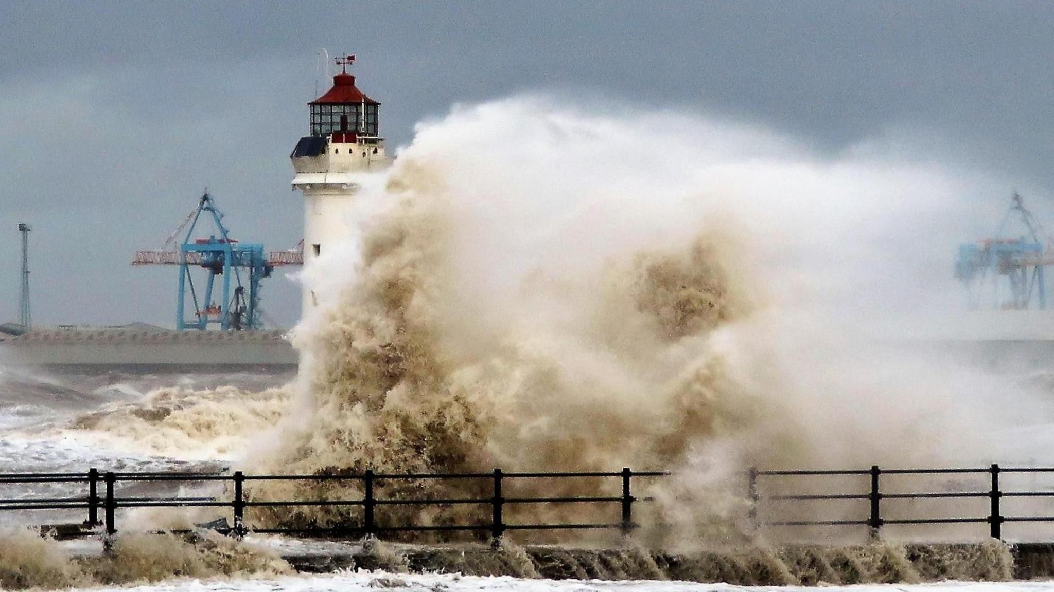
Image credit: BBC Weather Watchers
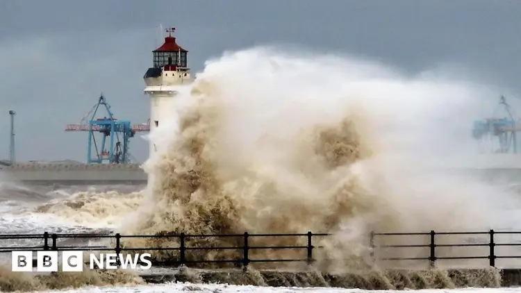
Powerful winds have already led to some breathtaking moments, as witnessed in Merseyside on Thursday.

The Met Office has released an uncommon red weather alert for strong winds as Storm Darragh moves toward the UK.
The alert is effective from 3:00 to 11:00 GMT on Saturday, affecting the western and southern coastal areas of Wales and the Bristol Channel in England.
On Friday, parts of the UK will be under yellow wind warnings, while amber warnings will affect Northern Ireland, Wales, and the western coast of England on Saturday morning.
Red weather warnings are the highest level of alert. The Met Office issues these warnings only when forecasters predict that severe and possibly life-threatening weather conditions are about to occur.
According to the Met Office, regions marked with a red warning are expected to experience wind gusts reaching 90 mph (144 km/h) or higher. These strong winds could result in debris being lifted off the ground and trees being uprooted, creating serious risks to safety.
The winds are likely to generate high waves, leading to power outages that could disrupt mobile phone services. There may also be damage to both structures and residences. Additionally, transportation systems are expected to face some impacts.
Starting late on Friday, the western regions of the UK will experience intense rainfall and increasing winds.
This weather system is expected to develop into Storm Darragh as we head into Saturday.
The Met Office reported that the highest winds are expected to lessen by late Saturday morning. However, it will still be quite breezy throughout the day, and amber warnings will stay in effect until the evening.
A yellow rain alert, signaling a potential flooding risk, is currently active in certain areas of western England.
In northern Scotland, there’s a yellow alert for snowfall, predicting up to 20 centimeters (8 inches) of snow at elevations over 400 meters (1,300 feet). The snow is expected to impact the higher sections of the A9 and A83, which could cause disruptions and possible road closures.
The Irish Meteorological Service has issued a red wind warning effective from 10 PM on Friday for certain areas in counties Donegal, Leitrim, and Sligo.
The approaching storm has started to create some chaos, particularly with strong winds damaging overhead cables, which has disrupted train services between Leeds and Wakefield Westgate.
National Rail announced that some trains may be cancelled, postponed, or rerouted, and advised passengers to review their travel plans before heading out.
In Staffordshire, strong winds caused numerous trees to fall and led to the closure of several roads.
Social media users shared that branches struck various structures, including a church. Several individuals referred to their observations as resembling a "tornado."
This weekend has seen the cancellation of multiple events, such as the Enchanted Winter Garden at Antrim Castle in Northern Ireland. Additionally, various Christmas festivities in England, including those in Shropshire, Cambridge, and Cornwall, have also been called off.
The RAC has urged drivers to delay their trips because of the "extraordinary" red weather alert.
Representative Alice Simpson stated to the BBC, "The rural and coastal roads that are unprotected will be especially dangerous."
Motorists in these regions need to be cautious of tall vehicles, as they might get pushed off their path or, in a more serious situation, even tipped over by strong winds.
Storm Darragh is the fourth officially recognized storm of the year, following Ashley, Bert, and Conall.
Certain regions in the UK are still in the process of recovering from Storm Bert, which brought severe flooding and resulted in the tragic loss of five lives last November.
Researchers indicate that as the planet’s climate heats up, severe weather occurrences are likely to increase in frequency. For every 1°C increase in average temperature, the atmosphere has the capacity to retain approximately 7% more moisture.
According to the UN's climate organization, heavy rainfall is happening more often and with greater intensity across many areas of the world. They predict that this trend will increase as temperatures continue to rise.
In what ways is the weather impacting your life?


