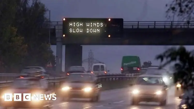
Storm Darragh: Amber warning issued for West Country

Photo credit: Ben Birchall/PA Wire
Powerful winds from Storm Darragh are expected to cause difficult travel conditions across the area from Friday night into Saturday, prompting an amber alert.

Chief weather reporter at BBC West
The West Country, like the rest of England, is expected to experience strong winds or possibly very strong winds on Friday afternoon and continuing into Saturday. This could lead to some interruptions.
The Met Office has officially called the upcoming severe weather Storm Darragh. This marks the fourth named storm of the autumn and winter season.
A strong wind amber warning has been issued for the western areas of the region, active from 03:00 GMT to 21:00 GMT on Saturday. Additionally, the entire region is under a yellow warning for high winds, which will be in place from 15:00 GMT on Friday until early Sunday morning.
Certain areas in Somerset may face especially powerful winds, but the whole West Country will experience different levels of impact, mainly due to the wind and rainfall.
Powerful winds are expected to pick up on Thursday afternoon and continue into the evening, originating from another low-pressure system, and the Met Office has issued a yellow warning for this. Additionally, Storm Darragh is set to make its arrival on Friday afternoon, bringing even stronger winds that will initially blow from the south to the south-west.
From Friday evening into the night and early Saturday, the winds will shift to a more westerly direction, eventually turning north-west. This is when we expect the wind to be at its strongest.
Prediction models for weather suggest that areas in Somerset near the Bristol Channel may face winds topping 50 to 60 mph, with some exposed spots possibly reaching 70 to 80 mph.
Image credit: UK Met Office
The Met Office has issued various warnings for Storm Darragh, including a general yellow alert for high winds throughout many regions, alongside a more severe amber warning for the western and southwestern parts of the country.
These types of strong winds are likely to occur in areas of west Somerset, extending eastward towards Bridgwater Bay and including nearby regions like the Sedgemoor district and northern Somerset.
The amber alert issued by the Met Office indicates that these regions are more likely to experience strong, potentially harmful winds.
On Friday night, there could be dangerous crosswinds in certain areas of the M5 in Somerset and North Somerset. As the winds shift to a more north-westerly direction later that night and into Saturday morning, similar concerns will extend to parts of the M4.
Other forms of transportation might also experience interruptions, and it's possible that some regions could face power outages as well.
In contrast to Storm Bert, which caused significant flooding on November 23 and 24, Storm Darragh poses a greater risk to the West Country primarily due to its powerful winds.
However, the rain brought by Darragh could lead to issues, especially considering the current concerns about flooding. From Friday to Sunday, we can expect around 15 to 25mm of rainfall, with Exmoor likely receiving a significantly higher amount.
Storm Bert has probably already weakened or harmed some trees and buildings, making them more susceptible to damage. This situation could worsen as the strong winds are expected to change to a north-westerly direction overnight from Friday to Saturday.
Trees often face winds coming from the southwest to the west and tend to withstand these conditions quite well. However, when there are surprisingly strong winds from less typical directions, it can create additional strain on the trees, making them more vulnerable to damage or even falling over.
Stay updated on the Met Office alerts, as changes can be made to the warnings that have already been released for Friday and the weekend.
Stay connected with BBC Somerset on Facebook and X. We’d love to hear your story suggestions! You can reach out to us through email or send a message via WhatsApp at 0800 313 4630.


