UK snow risk as Arctic air sweeps in

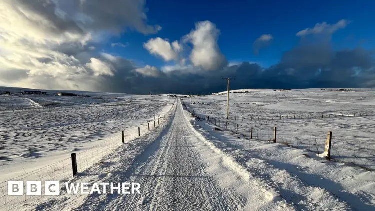
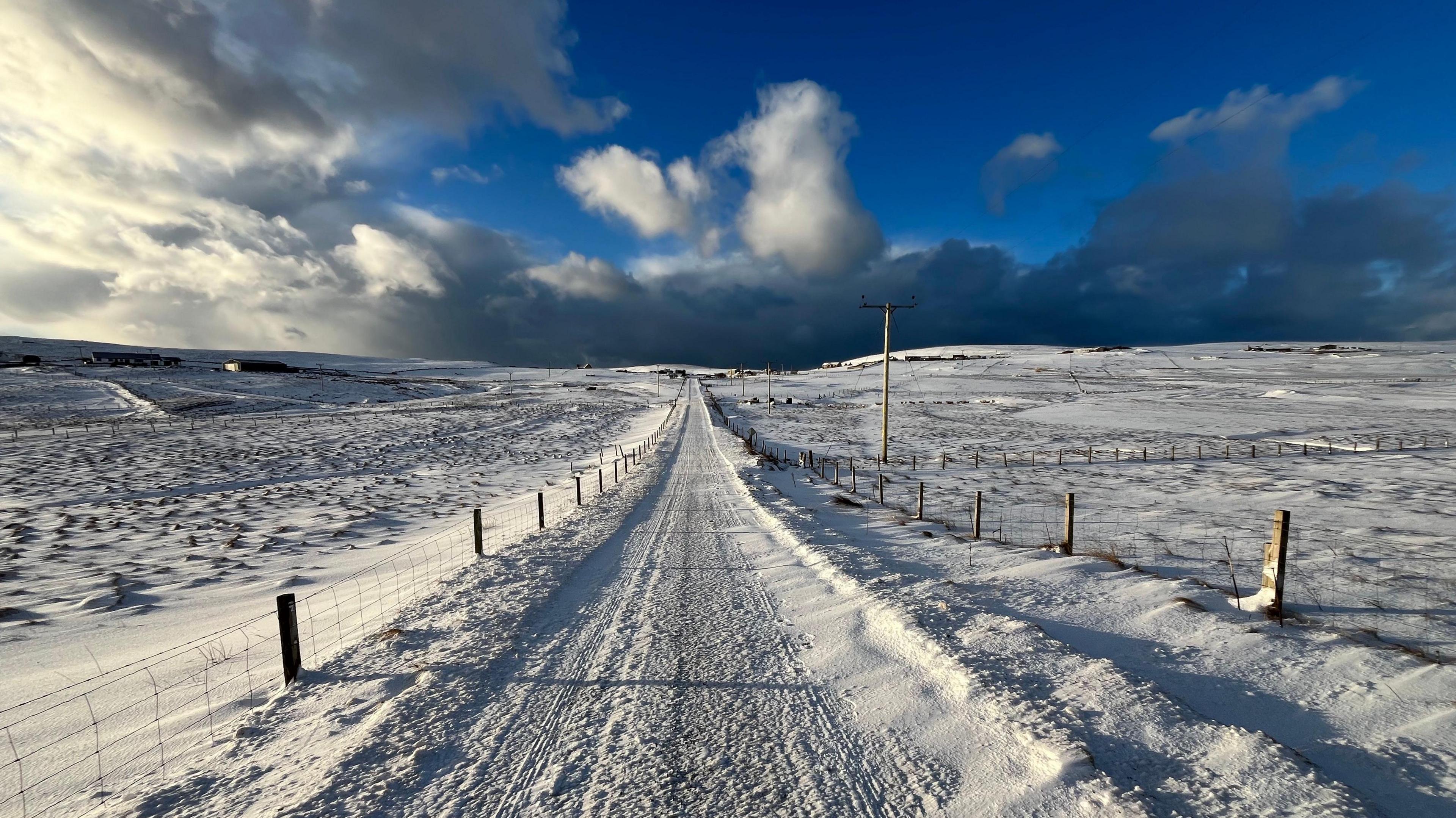
Next week, much colder weather is expected to hit the UK, leading to widespread frost, dropping temperatures, and even snow in some regions.

Starting on Saturday, temperatures will begin to drop as a cold front moves in from the north, bringing increasingly chilly air as we head into next week, thanks to the settling of an Arctic air mass.
This shift in weather patterns is due to a high-pressure system forming over Greenland, which allows cold Arctic air to sweep down into the UK, bringing with it chilly northern winds.
The emergence of this pattern in late November indicates that we can expect some chilly weather for the season. However, if this situation had developed during the peak of winter when the Arctic temperatures are significantly lower, we would be facing much harsher conditions.
Northern Scotland will experience lots of rain thanks to winds coming from the north, likely mixing with sleet along the coast. In the hilly regions, expect regular snowfall, which could lead to some localized issues when it accumulates.
In November, the ground isn't freezing like it is in the middle of winter, so some of the snow that falls on the roads is likely to melt. However, heavier snowfall may still collect on colder areas, like grassy patches.
A number of regions in the interior of the UK are expected to experience mostly dry conditions, with frosty mornings and plenty of sunshine.
Northern Ireland and the coastal regions of England and Wales are likely to experience numerous showers, which might also include a mix of rain, sleet, and hail.
Softer temperatures are expected to come back just before winter begins.
Several weather models predict the formation of a low-pressure system on Monday night and Tuesday, which will track southeastward across Northern Ireland, England, and Wales.
This will result in rainy and windy conditions on the southern side of the low-pressure area. On the other hand, the colder air on the northern side of the system could bring significant snowfall, particularly in elevated regions.
The amount of snow that falls will largely rely on the exact path taken by the low-pressure system, the intensity of the rainfall, and the height of the terrain.
These elements complicate the prediction of this area that could experience disruptive snowfall, making it challenging to forecast accurately. This uncertainty is expected to linger in weather predictions right up until the day before any snowfall is anticipated.
When Will The Cold Weather Finally End?
There’s a slight possibility that a second low-pressure system might bring some snow to southern parts of the UK towards the end of next week. While it’s too early to be sure about this, we’ll keep a close watch on it in the coming days.
It seems that the chilly weather will continue for about a week for a lot of people, but warmer air from the Atlantic is expected to arrive just as winter begins.
Check out our insights on future trends in our monthly outlook.


