UK snow risk as Arctic air sweeps in

Much chillier conditions are expected to hit the UK next week, leading to widespread frost, dropping temperatures, and snow in certain regions.

Starting on Saturday, temperatures will begin to drop as a cold front moves in from the north. The chill will continue to deepen into the following week as a mass of Arctic air settles in.
This shift in weather happens due to a high-pressure area forming over Greenland, which allows cold Arctic air to spread across the UK, bringing harsh northern winds with it.
The emergence of this pattern in late November suggests that we can expect chilly conditions typical for this season. However, if this system had developed during the peak of winter, when the Arctic temperatures are significantly colder, we would likely be experiencing much colder temperatures now.
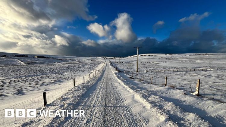
Northern Scotland will experience persistent showers due to winds coming from the north, with sleet and rain likely in coastal regions. The higher elevations in this area are expected to receive regular snowfall, which could lead to some localized disruptions where the snow accumulates.
In November, the ground isn't as chilly as it is in the depths of winter, so some of the snow that falls on the roads might melt. However, thicker layers of snow could still build up on colder, grassy areas.
Several regions in the interior of the UK are expected to experience a good amount of dry weather, accompanied by morning frost and clear, sunny skies.
Northern Ireland, as well as the coastal regions of England and Wales, can expect regular showers. These showers are likely to include a mix of rain, sleet, and hail.
Warmer temperatures are expected to make a comeback just before winter begins.
Many weather forecasting models predict the formation of a low-pressure system on Monday night and Tuesday, which will travel southeast through Northern Ireland, England, and Wales.
This situation will lead to rainy and blustery conditions on the southern part of the low-pressure area. Meanwhile, the colder air on the northern side of the system could result in significant snowfall, particularly in elevated regions.
The amount of snow we will get will largely rely on the specific path taken by the low-pressure system, the intensity of the rainfall, and the height of the terrain.
All these elements make predicting this area of possibly disruptive snowfall quite challenging. This uncertainty will probably linger in weather predictions until just a day before any snow is expected to arrive.
When Will The Cold Weather Finally End?
There's a slight possibility that a second area of low pressure may bring some snowfall to the southern parts of the UK late next week. Given how far out this forecast is, there's a lot of uncertainty, but we will keep a close eye on the situation as the week progresses.
It seems that the chilly weather will stick around for about a week for most people, before warmer air from the Atlantic makes its way back just in time for the beginning of winter.
Check out our insights on what's expected in the coming months with our monthly forecast.


