The Met Office has said the UK faces the risk of 'heavy snow' for the first time since the major sudden stratospheric warming over the North Pole. Forecasters have been careful in their forecasts amid fears the event in the Arctic would trigger a 'Beast from the East'.
It was back in 2018 that the sudden stratospheric warming caused chaos and disruption in the UK. But not every such event leads to a Beast from the East - it didn't in 2018 and it didn't in January 2023.
But while some forecasters have warned of 'walls of snow' and 'blizzards', the Met Office has said the impact on the UK of the sudden stratospheric warming was hard to pin down. In it's UK long-range forecast issued today (Tuesday, February 28), it said some of the snow could be significant in the second half of next month.
READ MORE: Full list of school closures for teachers' strike in Gloucestershire on Thursday - so far
And it has put down some key dates as the UK prepares to enter a March that looks like it's going to be more winter than spring. The words 'wintry' and 'snow' appear many times.
The first key period is from Sunday, March 5 to Tuesday, March 14 when wintry showers could be experienced on that first Sunday in the far northeast of the UK. The rest of the period could be more settled, with some wintry showers and snow in the north and east.
The Met Office adds: "There is an increasing chance of it turning more unsettled later with spells of rain or snow becoming more likely. Temperatures overall will be below average, but gradually trend up through the period"
The next significant forecast is for the period from Wednesday, March 15 to Wednesday, March 29. It's important to note that the Met Office has expressed 'low' confidence in this period.
But it said late seasonal wintry showers are expected. This is because of more colder air affecting the UK - which had been identified as a potential scenario following the sudden stratospheric warming.
It says: "Colder and drier conditions are expected in the north, with wintry showers and a risk of heavy snow at times. Temperatures overall will likely be below normal, but milder in the south through the middle of March and perhaps beyond."
Video Loading
Video Unavailable
Click to play Tap to play
In Gloucestershire over the coming six days, the Met Office is forecasting temperatures down to -1C in parts of the Cotswolds by next Monday. Overnight lows of 0C to 1C will also be typical next week.
Generally though, the next week looks very overcast with little in the way of sunshine. Daytime highs will be around 7C to 8C.
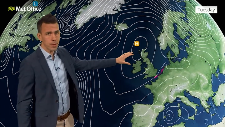
Met Office South West weatherPretty samey in the region this week with large amounts of cloud on Wednesday. It will be mainly dry but there could be some light rain showers.
From this Thursday to Saturday, high pressure will keep many areas dry, albeit often rather cloudy, into the weekend. Sunny intervals at times, with overnight frosts possible under any prolonged clear spells and it will feel chilly.
READ MORE:
Beefy Boys celebrate 'phenomenal' opening night after winning big Persistent Gloucester beggar banned from hospital after months of anti-social behaviour Closure order secured at Cheltenham property to protect vulnerable person Gloucestershire highways told to 'pull its finger out' and fix Cheltenham's 'disgraceful' streets Meet the transgender woman behind Gloucester's rainbow crossing


